
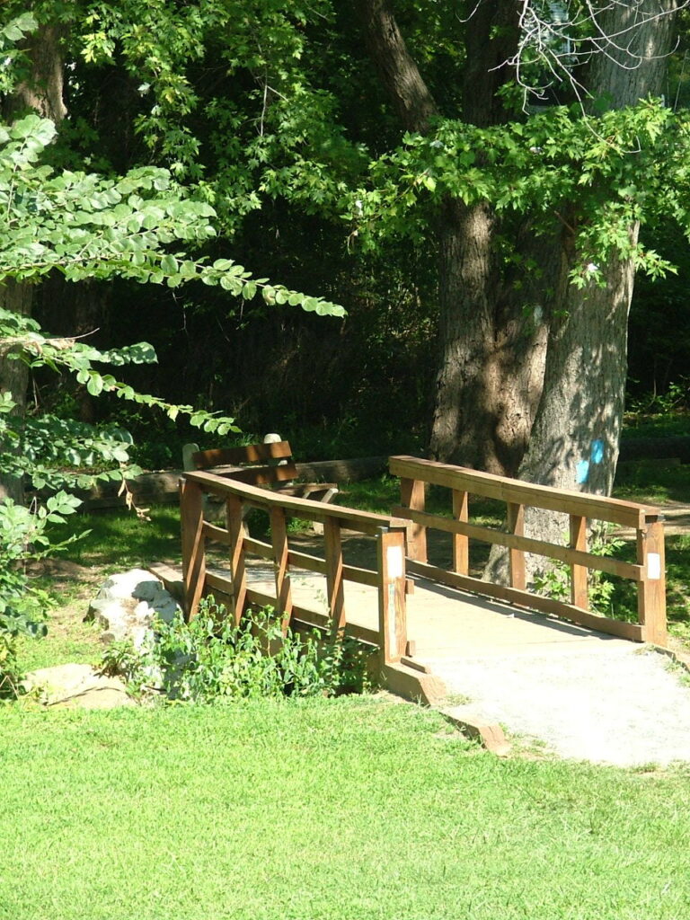
Several weeks ago we interviewed Joe K. It seems like a good week to continue the focus and share an interview with Joe describing the North Park (Joe K) Trail. It’s a beautiful park on the north end of our city. If you get to the Lock House Museum, just follow the paths that take you under the Route 40 bridge to enjoy a comfortable mile or so walk in a wooded area and along the shoreline of the mighty Susquehanna River.
The North Park Trail is geographically intriguing… the Susquehanna flows into the Upper Chesapeake Bay, the dramatic transition from the Coastal Plain to the Piedmont Plateau can be seen, the history of our early settlers and the Susquehanna and Tidewater Canal are all part of the amazing stories tucked into the walk along this trail. Part of it built on the railroad bed that once took men and materials to the Conowingo Dam construction site in the late 1920s adds another unique historical element.
from Joe K interview of the North Park (Joe K) Trail
Walk-Hike-Bike the Joe K Trail
No matter how you enjoy this area, the trail is fascinating. Remnants of history can be spotted throughout the area as well as the most obvious: the Susquehanna Museum at the Lock House.
With each season there are new things to search for in the park. Spring brings the turtles and the sound of the tree frogs. But in winter, you may just catch a glimpse of a snowy egret! If you walk quietly you’ll see squirrels and deer. And there are always a variety of birds. If you are into geocaching, I believe you’ll find locations within the park as well.
from Joe K interview of the North Park (Joe K) Trail
Enjoy the interview, then make plans to walk, jog, hike, or bike the Joe K Trail. You can even take a picnic lunch and savor some quiet time while the kids play at the McLhinney Park playground in the same area. (Just be sure to take your trash with you when you leave.)
Here’s a link to an article from the Havre de Grace Magazine.
Our next interview with be on a Wednesday. In the meantime, enjoy all the posts on our blog and explore our history with our ‘casual historian.’